Drones are the key to precision agriculture: surveys are quick, easy to interpret, and cost-effective. Previously aerial surveys were possible only on large-budget farms with access to helicopters — now, any agricultural project of any size can use unmanned aerial vehicles (UAVs) to help increase crop yield and improve operational margins.
"Farms using drones for aerial surveys will see a huge improvement in their crop yield, as the massive amounts of data gathering and processing made possible by UAVs help to pinpoint exactly where improvements can be made," said Steve Coulson, Founder of COPTRZ.
"Drones can deliver topographical, near infrared, and visible spectrum maps, allowing farmers to develop complex overlays to identify areas for improvement. No longer will entire fields require spraying with additional nutrients or pest control chemicals: farmers will save money and time by spot-treating the exact site of a problem.
"COPTRZ are excited to deliver these possibilities to all sizes of agricultural project thanks to the new affordability of drone hardware and software. We can help farmers choose a bespoke drone and training package, or match them with our hand-picked partners to carry out surveys on their behalf. We're intent on helping the agricultural industry improve crop yields and profit margins through this advanced technology."
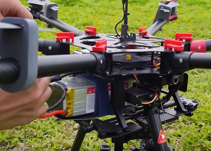
Highly advanced, survey-specific drones are now available through COPTRZ — and the team will be able to help advise any farmer seeking to use UAVs for precision farming techniques on which model is best for their needs. Many, such as the Altura Zenith, have swappable components, making them an ideal multi-tasking tool for any farmer.
Want to know more? Email info@coptrz.com for comment, or visit the website www.coptrz.com for details.