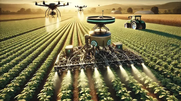
Farming, one of the oldest human endeavors, is on the brink of a technological revolution. As labor shortages and the increasing demand for food push agriculture toward automation, researchers are developing innovative solutions to make autonomous farming a reality.
A new study from the University of California, Riverside, accepted for publication in the May issue of Computer and Electronics in Agriculture, introduces an adaptive LiDAR odometry and mapping system designed for autonomous agricultural robots.
This breakthrough aims to enhance navigation and mapping capabilities in challenging farm environments, making unmanned farms more feasible.
“The key design principle of this framework is to prioritize the incremental consistency of the map by rejecting motion-distorted points and sparse dynamic objects,” researchers wrote. “The effectiveness of the proposed method is validated via extensive evaluation against state-of-the-art methods on field datasets collected in real-world agricultural environments featuring various planting types, terrain types, and robot motion profiles.”
The Challenge of Autonomous Farming
Unlike the smooth roads and structured layouts of urban environments, agricultural fields present unique challenges for autonomous robots. Uneven terrain, dynamic obstacles like swaying crops, and the lack of fixed reference points make navigation complex.
Traditional LiDAR-based navigation systems, which work well in controlled environments, often struggle to maintain accuracy in these unpredictable conditions.
To address this, the research team at UC Riverside developed a new framework that enhances localization and mapping for mobile robots operating in unstructured farmlands. Their system prioritizes map consistency and accuracy by filtering out motion-distorted data and dynamically adapting to changing field conditions.
How Adaptive LiDAR Enhances Agricultural Robotics
The new system, called AG-LOAM (Adaptive Generalized LiDAR Odometry and Mapping), employs a robust LiDAR odometry algorithm based on dense Generalized Iterative Closest Point (G-ICP) scan matching.
It also features an adaptive mapping module that selectively updates maps based on motion stability and data consistency. Motion stability filtering determines when to update the map, ensuring that motion-distorted data is not integrated into the navigation system. Mapping consistency filtering rejects unreliable points, allowing the system to maintain high map accuracy over time. The framework processes incoming data quickly, allowing robots to navigate efficiently without accumulating drift errors.
Through extensive field tests, researchers demonstrated that AG-LOAM consistently outperformed existing LiDAR-based localization systems in agricultural settings. It proved more resilient to environmental disturbances and robot movement irregularities than traditional methods.
Field Testing and Performance of AG-LOAM Autonomous Farming
The research team conducted rigorous tests at the University of California, Riverside’s Agricultural Experimental Station. Using a Clearpath Jackal mobile robot equipped with a LiDAR sensor, they collected real-world data across different farm conditions.
Researchers evaluated the system’s performance in various planting environments, such as in-row citrus orchards and open crop fields, with different terrain types, including flat land and rugged, uneven surfaces.
One of the most significant findings was AG-LOAM’s ability to maintain localization accuracy even in environments with limited GPS availability. Unlike previous systems that rely heavily on satellite signals, this new framework allows robots to navigate using only LiDAR-based mapping, making it highly adaptable to remote and complex agricultural landscapes.
Results showed that AG-LOAM achieved a centimeter-level accuracy in tracking robot movement and generating precise farm maps. In contrast, competing methods suffered from accumulated errors over time, leading to misalignment and unreliable navigation.
Implications for the Future of Farming
The development of AG-LOAM could represent a significant step toward fully autonomous farming. Automated harvesting, pesticide application, and soil monitoring could become more efficient and less labor-intensive with robots capable of accurate self-navigation.
The ability to generate high-resolution, real-time maps of crop conditions also holds promise for precision agriculture, where farmers can make data-driven decisions to optimize yields and resource usage.
Furthermore, the technology could help reduce agriculture’s reliance on manual labor, address workforce shortages, and improve operational efficiency.
As farming communities face increasing challenges related to climate change and food security, such advancements could be critical in ensuring sustainable and resilient food production systems.
Despite its success, the AG-LOAM system still faces some limitations. The research team acknowledged that the framework is currently optimized for 360-degree LiDAR sensors, which may not be accessible or cost-effective for all agricultural applications.
Future iterations may explore alternative sensor integration, such as multi-modal systems combining LiDAR with multispectral cameras or inertial measurement units (IMUs) for enhanced navigation accuracy.
Additionally, while the system performs well in structured and semi-structured farm environments, future research will need to adapt it for more diverse agricultural landscapes, including densely vegetated areas and hilly terrains. Integrating AI-based predictive modeling could further enhance its ability to anticipate and adapt to environmental changes in real time.
Nevertheless, AG-LOAM could mark a transformative moment in agricultural automation. By addressing the unique challenges of farm navigation, the adaptive LiDAR system paves the way for more reliable and efficient autonomous farming solutions.
As research continues to refine and expand its capabilities, the future of unmanned farms looks increasingly promising, bringing us closer to a new era of intelligent, self-sufficient agriculture.
The research team has made its source code and field data publicly available on GitHub for those interested in exploring the full study and its dataset.
With continued innovation and collaboration, adaptive robotic farming may soon become an integral part of modern agriculture.
“Results demonstrate that our method can achieve accurate odometry estimation and mapping results consistently and robustly across diverse agricultural settings,” researchers concluded, “whereas other methods are sensitive to abrupt robot motion and accumulated drift in unstructured environments.”


